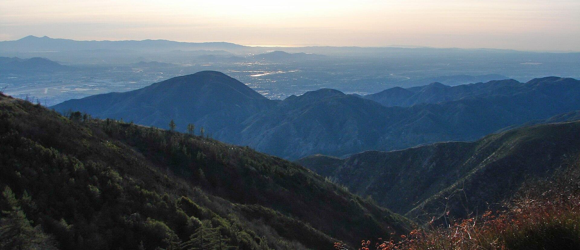
San Bernardino County posted a history explaining that Baseline Road and Meridian Avenue trace the federal Public Land Survey System’s San Bernardino Baseline and Meridian.
The county said the Public Land Survey System, originally proposed by Thomas Jefferson, was used to divide and map much of California after statehood in 1850.
The county said Colonel Henry Washington, a United States deputy surveyor, established the survey’s initial point in 1852 on one of the highest peaks in the San Bernardino Mountains; from that point surveyors laid the Baseline and the San Bernardino Meridian.
The county said the Baseline extended west to the Pacific Ocean and east to the Colorado River at the Arizona border; the San Bernardino Meridian extended south to the Mexican border. The county noted California eventually had three principal meridians: the Humboldt, Mount Diablo and San Bernardino meridians.
The county said the survey survives in local street names: Baseline Road runs through Fontana, Highland, Rialto, Rancho Cucamonga, San Bernardino and Upland, and Meridian Avenue runs through Rialto and San Bernardino.
The county said the history was originally part of a video series produced by the San Bernardino County Assessor-Recorder-County Clerk’s office.
Sources & methodology
This report was written from the primary materials below. Links open at the original publisher.
County of San BernardinoSee something we should correct? Read our corrections policy.