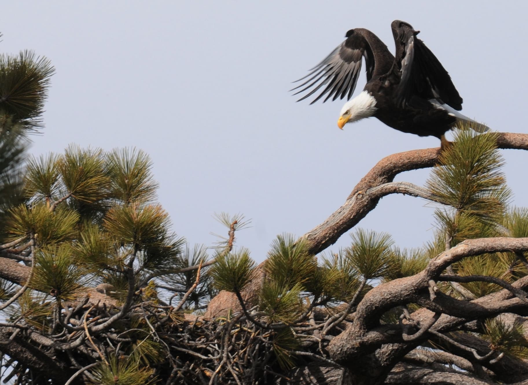
San Bernardino County published photos and route guidance for the Loch Leven to Angelus Oaks Trail on Nov. 12, 2026; the post credited Anna Duarte for the images and described the route.
The county said the trail covers 11.5 miles and takes approximately six hours to complete. The route follows sections of the former Highway 38 and includes a mix of dirt paths, narrow trails and a few remaining pieces of pavement.
The county said hikers should pay attention to trail markings and stay to the left when heading uphill because the path can be misleading and appear to continue to the right. The post describes stretches of pine forest, rocky terrain and alpine surroundings, and says the trail eventually reaches a road in Angelus Oaks.
The county said mountain bikers also use the route; hikers should give riders plenty of room to pass. The post advises that an Adventure Pass may be required depending on where you park and directs readers to the San Bernardino National Forest website for pass and parking details.
Sources & methodology
This report was written from the primary materials below. Links open at the original publisher.
County of San BernardinoSee something we should correct? Read our corrections policy.