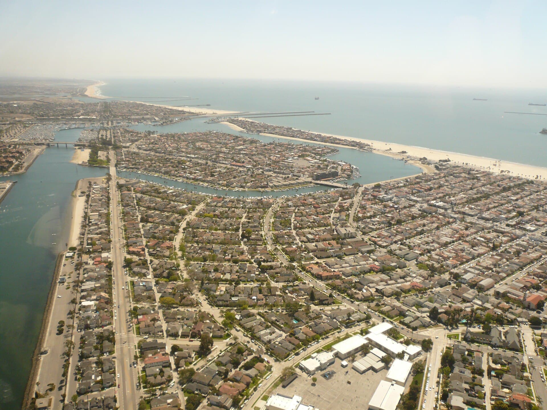
Long Beach's Peninsula faced its most dangerous high tide of the storm Sunday morning, after waves from Tropical Storm Rachel overtopped the bulkhead, sent seawater into homes and streets, and led city inspectors to red-tag eight buildings. The city has proclaimed a local emergency. In its latest update, it said the Peninsula "remains especially vulnerable to coastal flooding, erosion and additional damage to the boardwalk and bulkhead."
A mandatory evacuation order issued the evening of Oct. 9 remains in effect for homes in the 6400 and 6500 blocks of Seaside Walk, between 64th and 66th places, the city said. An evacuation warning issued Oct. 10 covers residents on 64th, 65th and 66th places south of Ocean Boulevard and homes in the 6200, 6300, 6600 and 6700 blocks of Seaside Walk. The city told those residents to be ready to leave at a moment's notice. An evacuation advisory covers the rest of the Peninsula, Naples Island and Treasure Island.
Inspectors have red-tagged eight buildings accounting for 13 residences and yellow-tagged one, according to the city. Crews have used portable pumps to push back water. The city also brought in a crane to place 30 heavy-duty, 3,000-pound sandbags to reinforce the bulkhead at 64th Place. The city said it has handed out about 11,000 sandbags for this storm and about 18,000 across the three recent storms. It plans to bring 50,000 to 100,000 cubic yards of sand next week to fortify the beach between 62nd and 70th places. The Peninsula is closed to nonresidents, with street closures beginning at 62nd Place.
The National Weather Service's Los Angeles office has a coastal flood warning in effect until 3 p.m. Sunday for the Los Angeles County beaches. It expects tide levels around 8 feet near Sunday morning's high tide, nearly 2 feet above the astronomical high tide of 6.1 feet, combined with surf of 5 to 8 feet, low barometric pressure and onshore winds. For "vulnerable south-facing beaches (such as Alamitos Peninsula and Naples in Long Beach as well as Malibu)," it said, significant sea-water flooding "will likely DAMAGE coastal structures and beach roadways around the time of high tide." Forecasters said there is "growing confidence" that Sunday morning's impacts on south-facing Los Angeles County beaches "could be the most significant we have seen so far this season, including those seen with Marie."
Saturday's high tide gives a sense of the scale. NOAA's Los Angeles tide gauge peaked at 7.69 feet above mean lower low water at 9:48 a.m. Saturday.
After the warning expires, a coastal flood advisory continues from 3 p.m. Sunday to 2 p.m. Tuesday. Forecasters expect morning high tides around 7.5 feet Monday and Tuesday, large secondary high tides each evening and continued minor to moderate flooding, especially on south-facing shores. The city said residents who own watercraft should anticipate overtopping or displacement due to rising water levels.
The city asked the public to stay away so crews can work, and it said individual volunteers will not be approved during the emergency. Volunteer groups can coordinate through the city's Community Emergency Response Team at 562.570.4734. Residents can get sand and sandbags through Oct. 13 at the Claremont Beach parking lot, 5400 E. Ocean Blvd., and at Fire Stations 7, 12, 13 and 14, with a limit of 10 bags and ID required. Alerts are available through Alert Long Beach.
Sources & methodology
This report was written from the primary materials below. Links open at the original publisher.
City of Long Beach Emergency Updates: Tropical Storm Rachel and Peninsula impacts (Oct. 10, 2026) City of Long Beach press release 101026-01: City urges caution as coastal flood and high surf warnings take effect NWS Los Angeles/Oxnard coastal flood warning and area forecast discussion (Oct. 11, 2026) NOAA Tides & Currents, Los Angeles (9410660)See something we should correct? Read our corrections policy.